GPRS Locates All Utilities at Former Steel Mill Prior to Demolition, Restoration
GPRS (Ground Penetrating Radar Systems, Inc.) was recently hired to locate all utilities within the boundaries of a 350-acre closed steel mill. The former plant in Ohio is a site that has been frequented by GPRS personnel. The services requested were EM/GPR utility locating as well as GPS data collection and Google Earth KMZ file. Once finalized, the site owner will be provided a non-survey grade map of the entire site and detailed non-survey grade maps of areas of interest.
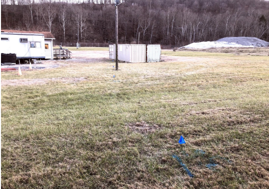
The first area to be scanned was a 2-acre area in the Support Zone. The area features include current and previous job trailer locations, an abandoned building, 2 electrical panels, and numerous abandoned conduits.
Known utilities were located with the EM cable and pipe locator first. This step included signal conduction, induction, and the use of fish tape and a duct rodder to place a conductive linear element inside of non-conductive pipes and conduit. Once all the known utilities had been located, the next step was passive EM scanning.
Passive scanning is used secondarily once all known utilities have been located in order to narrow down unknown signal reception and speed up utility identification efforts.
After identifying all known and unknown metallic utilities, GPR scans were conducted to identify any remaining unknown, non-conductive utilities. Typically, in this phase, inaccessible plastic utilities such as sanitary sewer, storm sewer, and plastic gas and water lines can be detected. Known utility locations are also double checked for accuracy.
In this particular case, the majority of utilities located were abandoned electrical and communication conduit. These utilities are indicated in pink on the below map to indicate that they are abandoned, separating them from the live electrical and other utilities. The map is captured directly from GPS point collection taken onsite and loaded into Google Earth. The ability to differentiate between active and inactive utilities allowed the contractor to call in electricians and direct their activities in disabling live electrical lines prior to demolition.
Even during demolition, it is important for excavators to know where inactive utilities are located. This can prevent excavation activities from being shut down due to the strike of Marked for Removal (MFR) lines. It also notifies foremen of places that are safe to dig and those which are not.
It is important to call GPRS and have each area being excavated scanned with GPR prior to any work being done. Contact Sean Murphy (412) 732-4940, Sean.Murphy@gprsinc.com for any of your concrete or utility scanning needs.
GPRS does not provide geophysical, geological, land surveying or engineering services. If you need such services, please contact an appropriate professional.
